Independent maritime history and travel information website. Not affiliated with or endorsed by Scandlines or any ferry operator.
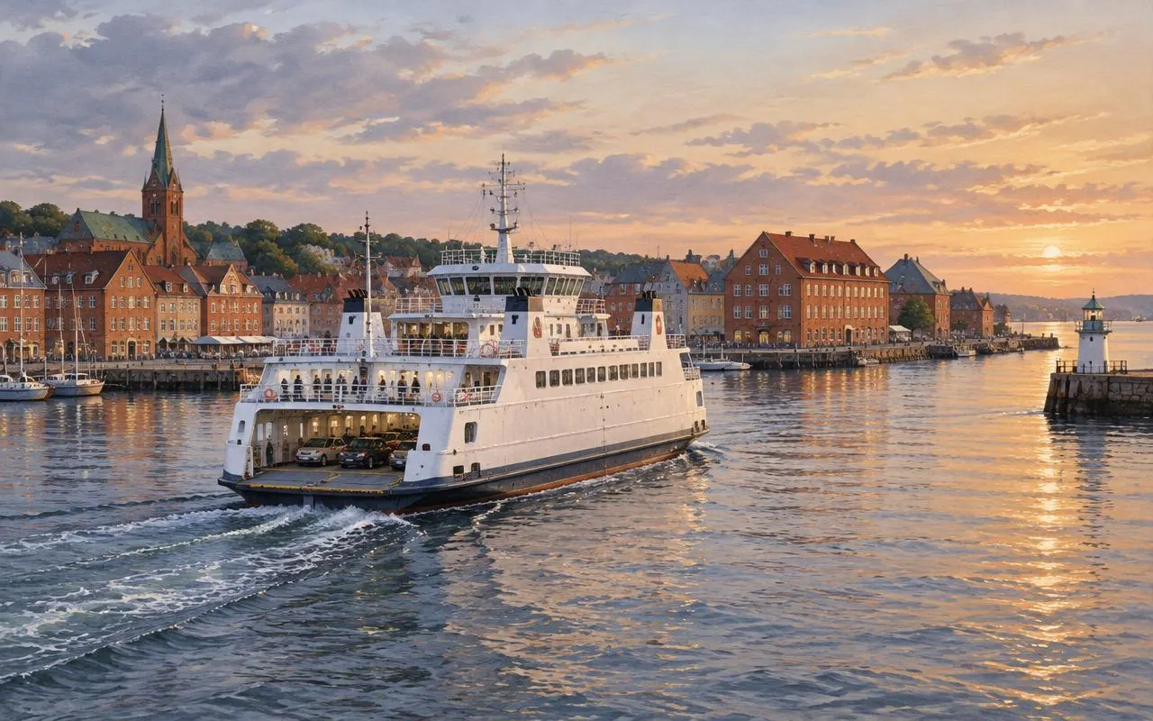
Granite skerries on the Swedish west coast at dawn with a small white ferry on the calm sea

Sweden · Baltic Sea · Øresund

The History of Ferry Transportation in Sweden

A Nation Connected by the Sea

Discover how maritime trade, ferry crossings and technological innovation shaped Sweden's connections with neighbouring countries.

Illustration — not a historical photograph.

Chapter I

Why Ferries Became Important in Sweden

Sweden is a country shaped by water. Its coastline runs for thousands of kilometres from the Gulf of Bothnia in the north, along the Baltic Sea and the Øresund, to the Kattegat and Skagerrak in the west. Along that edge lie tens of thousands of islands, skerries and inlets. For most of the country's history, the sea was not a barrier to movement but the easiest road available. Forests, lakes and long winters made overland travel slow, while a boat could carry people and heavy goods between coastal communities far more efficiently.

Sweden's geographical position in Northern Europe added a second reason. The country's closest neighbours — Denmark, Germany, Finland, the Baltic states and Poland — are all reached most directly across water. Before the Øresund Bridge opened in 2000, there was no fixed land link between Sweden and continental Europe except the long route around the Gulf of Bothnia through Finland. Any traveller, merchant or letter going south had to cross the sea.

Coastal settlements grew where sheltered harbours met trade routes. Towns such as Visby, Kalmar, Ystad, Trelleborg, Malmö, Helsingborg and Gothenburg developed around their ports, and their fortunes rose and fell with maritime commerce. Iron, timber, tar, grain, fish and salt moved through these harbours for centuries, connecting Sweden to the wider economy of the Baltic and North Sea.

Passenger ferries emerged from this commercial world. For a long time, people simply travelled on whatever vessel was going their way, or hired boatmen for short crossings like the narrow strait between Helsingborg and Helsingør. As steam power, railways and later the motor car transformed transport in the nineteenth and twentieth centuries, these informal crossings became scheduled services with dedicated ships, terminals and timetables.

The growth of international transportation made ferries even more important. Railway ferries linked national rail networks across the Øresund and the Baltic, and car ferries became an extension of the European road system. Today, despite bridges and tunnels, ferries continue to carry passengers, cars and freight between Sweden and its neighbours — the latest chapter in a story that is many centuries old.


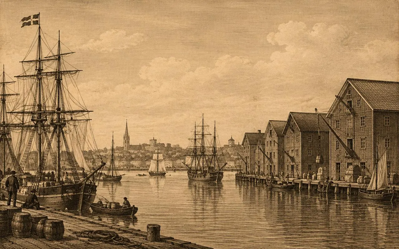
Engraving-style illustration of a nineteenth-century Swedish harbour with sailing ships and wooden warehouses
Wooden warehouses and sailing ships in a Swedish trading port, the kind of harbour from which later ferry services grew. Illustration (digitally generated for Scandliines) — not a historical photograph.

Chapter II

Sweden's Maritime Neighbours

01

Denmark

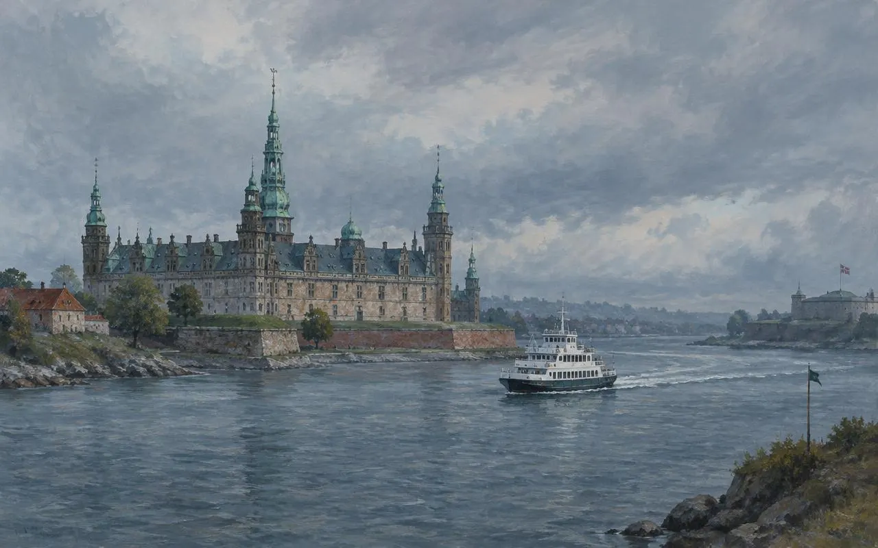
The Øresund separates Scania from Zealand by only about four kilometres at its narrowest point. Denmark controlled both shores until 1658 and collected the Sound Dues from passing ships until 1857. The strait has been crossed by ferries for centuries and is now also spanned by the Øresund Bridge.

Read the Øresund history →
02

Germany

Medieval Hanseatic merchants tied Swedish ports to Lübeck and the German Baltic coast. In 1909 the Trelleborg–Sassnitz railway ferry linked the Swedish and German railway networks, and car and freight ferries later connected Trelleborg, Gothenburg and other ports with Rostock, Travemünde, Kiel and Sassnitz.

Read the Sweden–Germany history →
03

Baltic Sea Region

Beyond Denmark and Germany, ferries link Sweden with Finland, the Åland Islands, Estonia, Latvia, Lithuania and Poland, as well as with Gotland. Together these routes form one of the densest ferry networks in the world, serving commuters, tourists and freight hauliers.

Read about the origins →

Chapter III

From Historical Ships to Modern Ferries

  1. c. 800–1050

    Early maritime trade

    During the Viking Age, Scandinavian ships carried traders and goods across the Baltic. Coastal and river routes linked the region with Eastern Europe and beyond.

  2. 13th–15th c.

    Medieval shipping

    The Hanseatic League dominated Baltic trade. Visby on Gotland and Stockholm were tied into a network centred on Lübeck, using broad cargo ships known as cogs.

  3. 19th c.

    Steamship transportation

    Steam vessels appeared in Sweden in the 1810s. Through the nineteenth century, steamships made crossings faster and more predictable, allowing regular timetables.

  4. 1892–1909

    Railway ferries

    Train ferries began between Helsingborg and Helsingør in 1892, and the Trelleborg–Sassnitz railway ferry opened in 1909, linking Swedish and German railways.

  5. 1950s–1960s

    Automobile ferries

    Rising car ownership drove the introduction of roll-on/roll-off car ferries with bow and stern doors on Øresund, Kattegat and Baltic routes.

  6. 2000s–today

    Modern passenger ferries

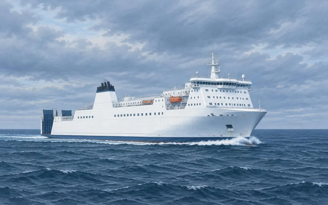
    Large ro-pax ships, frequent shuttles and battery-electric ferries now serve the region, while the Øresund Bridge carries road and rail traffic between Malmö and Copenhagen.

Illustration of a cable-stayed road and rail bridge crossing a strait towards an artificial island
A fixed link across the Øresund: road above, railway below, ending at an artificial island before a tunnel. Illustration (digitally generated for Scandliines) — not a historical photograph.

Chapter V

The Role of the Øresund Bridge

On 1 July 2000 the Øresund Bridge opened between Malmö and Copenhagen. Combined with the artificial island of Peberholm and the Drogden tunnel, it created the first fixed road and rail connection between Sweden and Denmark. Trains and cars could now cross the strait without boarding a ship.

The change was profound. Ferry and hydrofoil services between the two largest cities of the region ended, commuting across the border became a daily routine for thousands of people, and Swedish international rail traffic was rerouted over the bridge. Yet ferries did not disappear: the short Helsingborg–Helsingør crossing in the north remained busy, and routes to Germany, Poland and the Baltic states continued to matter for freight and holiday traffic.

Read: The Øresund Bridge and the future of ferry travel →

Questions

Frequently Asked Questions

Why did Sweden develop ferry transportation?

Sweden has one of Europe's longest coastlines, thousands of islands and neighbours that lie across water. Before bridges and modern roads, the sea was usually the most practical route for people, goods and later railway wagons and cars, so regular ferry services grew naturally out of centuries of coastal shipping.

How did people travel between Sweden and Denmark?

For centuries travellers crossed the Øresund by sailing and rowing boats, most often on the short northern crossing between Helsingborg and Helsingør. Steamships, railway ferries and car ferries followed, and since 1 July 2000 the Øresund Bridge has provided a fixed road and rail link between Malmö and Copenhagen.

What is the Øresund Strait?

The Øresund (Öresund in Swedish) is the strait separating the Swedish region of Scania from the Danish island of Zealand. It is one of the main channels linking the Baltic Sea with the Kattegat and the North Sea, and at its narrowest point, between Helsingborg and Helsingør, it is roughly four kilometres wide.

When did automobile ferries become important?

Cars were carried on Scandinavian ferries in small numbers before the Second World War, but vehicle ferries became central to travel in the 1950s and 1960s as car ownership rose sharply and roll-on/roll-off ships with drive-through decks were introduced.

What is the history of the Helsingborg–Helsingør crossing?

The crossing has been used since the Middle Ages because it is the narrowest point of the Øresund. It gained steamship services in the nineteenth century, a railway ferry connection in 1892 and frequent car ferries in the twentieth century. It remains one of the busiest ferry routes in Scandinavia.

How did the Øresund Bridge affect ferry travel?

The bridge, opened in 2000, ended the ferry services that had linked Malmö and Copenhagen and moved most rail traffic between Sweden and Denmark onto the fixed link. The northern Helsingborg–Helsingør ferry route continued, because it serves a different part of the region and offers a very short crossing.

What role did Scandlines play in ferry history?

Scandlines was formed in the late 1990s from the ferry divisions of the Danish and German state railways, and Swedish state railway ferry operations were later brought into the group. For a period Scandlines was involved in the Helsingborg–Helsingør route; that operation was sold in 2015 and Scandlines no longer runs the crossing. Today Scandlines is known for its Denmark–Germany routes.